
To view more routes from your previous selection
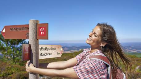
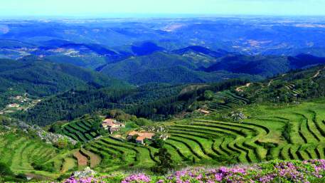
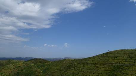
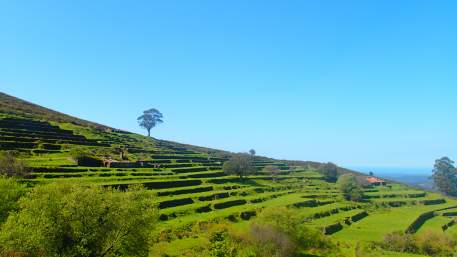
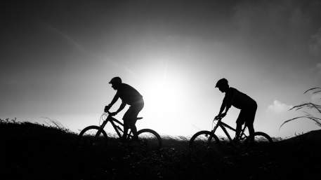
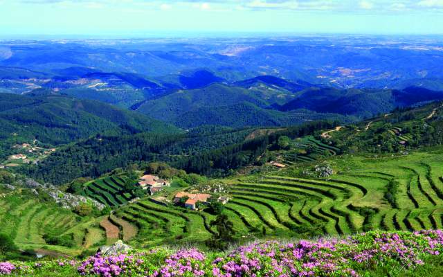
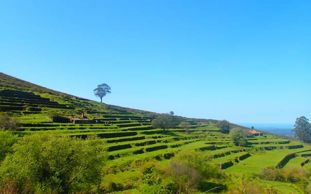
The Via Algarviana extends over 300 km and crosses the Algarve longitudinally, mainly through the mountains connecting Cabo de São Vicente to Alcoutim. This Large Pedestrian Route (GR13) can also be made by mountain bike and offers you contact with an almost unknown Algarve, where agriculture and rural lifestyles are predominant.
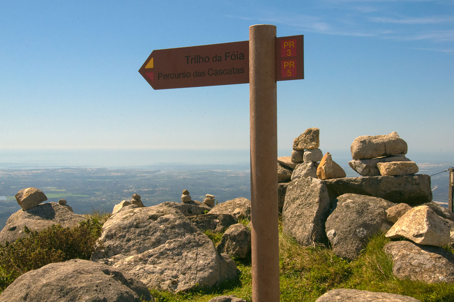
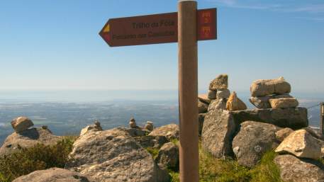
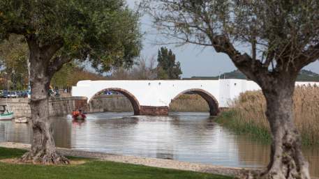
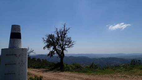
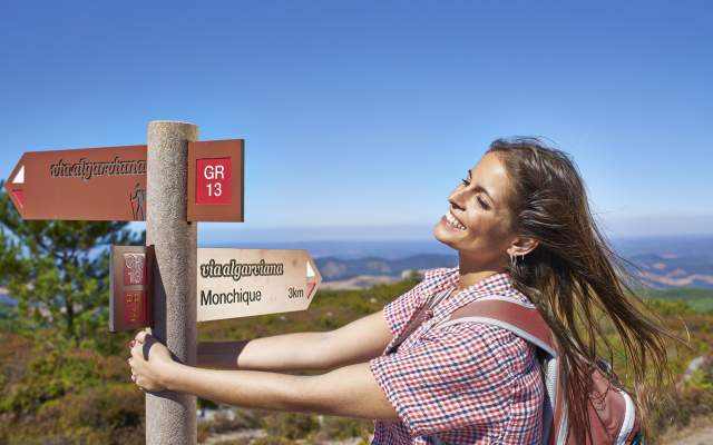
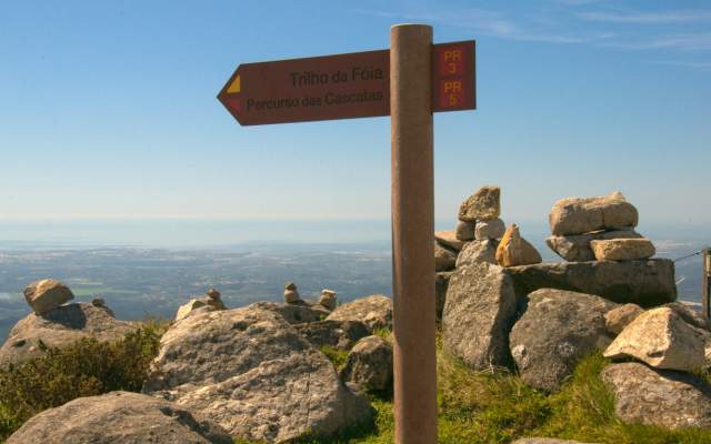
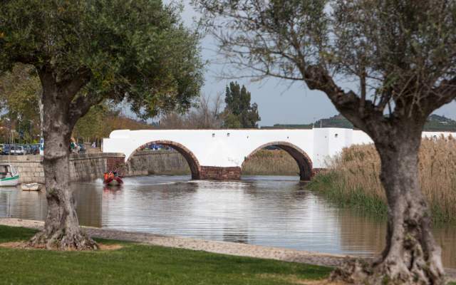
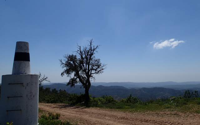
This route, starting at the pier of Alcoutim, near the Guadiana River, is divided into 14 sections and goes through locations where you can find accommodation, restaurants and support services. One of the first sections goes through Serra do Caldeirão, a region known by its cork production and by the traditional villages of Salir, Benafim and Alte. Mid-way, you can find Silves and then Serra de Monchique, where you can enjoy the view from the natural sightseeing spots of Picota or Foia, the highest reference points of the Algarve. This route also goes across Marmelete, Bensafrim and Barão de São João, extending over areas with minimal human intervention and a peculiar stone pine forest. The Via Algarviana ends in the Southwest Alentejo and Vicentine Coast Natural Park, near the sea.
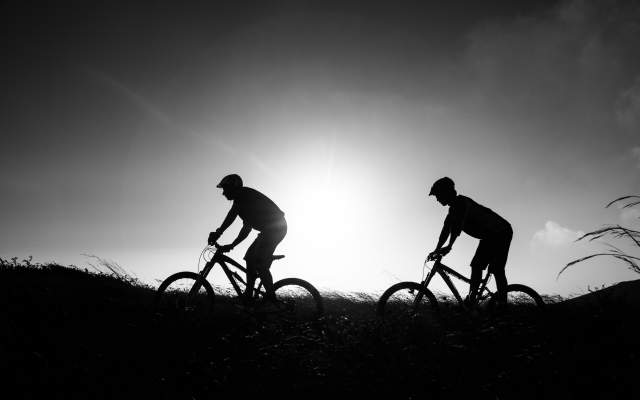
The Via Algarviana has good cycling conditions across more than 90% of its extension. In general, trails are very demanding in a physical and technical point of view, thus, we recommend you do it in a minimum period of five days. Although the itinerary is properly marked, we advise cyclers to use a GPS and to download the existing coordinates.
If you choose to travel across the Via Algarviana, you have available all detailed information in guides and maps. Additionally, you can check the Companies’ Programmes for this Route or you can merely follow the trail you want, enjoying all supporting Services on your way.
Despite its level of demand, crossing the Via Algarviana by mountain bike will be an unforgettable experience!

Types
Which Trails?
No results were found matching your search. We suggest changing the filters used.

Programmes
View MoreClose
Search results for:
No results were found matching your search. We suggest changing the filters used.