Ligação 2 - Estação de Comboios de Loulé - Salir / Walking
Via Algarviana / Walking
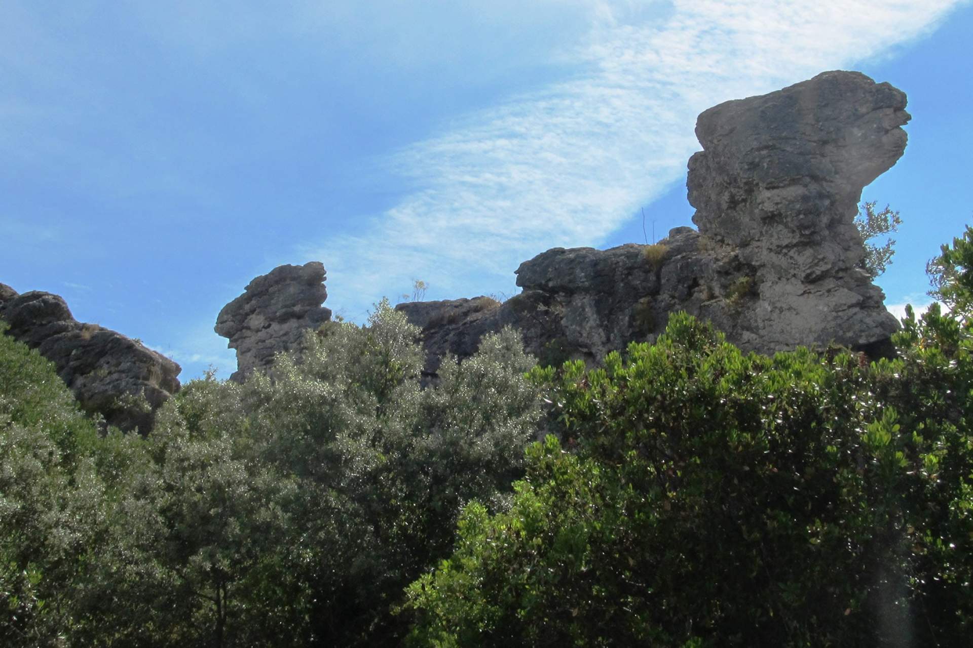
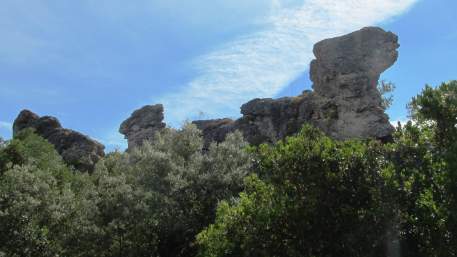
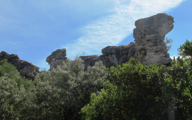
From the Loulé railway station, follow the street to the left and walk past the houses in the direction of the old road from Loulé to Quarteira. After crossing the road, the route follows a narrow trail. Further on, after crossing another road, the route climbs towards Loulé, passing the Cadouço River. After reaching Loulé, the route continues past the Public Park and the St. Luzia Chapel. After this, it continues in the direction of the Altura trig point. It then descends as far as the Mercês River and climbs on a medieval road. Continue in the direction of the Fonte Benémola Local Protected Landscape. It passes through Corcitos towards the Rio Seco River, before reaching the Via Algarviana.
From the Loulé railway station, follow the street to the left and walk past the houses in the direction of the old road from Loulé to Quarteira. After crossing the road, the route follows a narrow trail. Further on, after crossing another road, the route climbs towards Loulé, passing the Cadouço River. After reaching Loulé, the route continues past the Public Park and the St. Luzia Chapel. After this, it continues in the direction of the Altura trig point. It then descends as far as the Mercês River and climbs on a medieval road. Continue in the direction of the Fonte Benémola Local Protected Landscape. It passes through Corcitos towards the Rio Seco River, before reaching the Via Algarviana.