PR9 CTM - Percurso Pedestre "Mina e Albufeira" / Walking
Via Algarviana / Walking
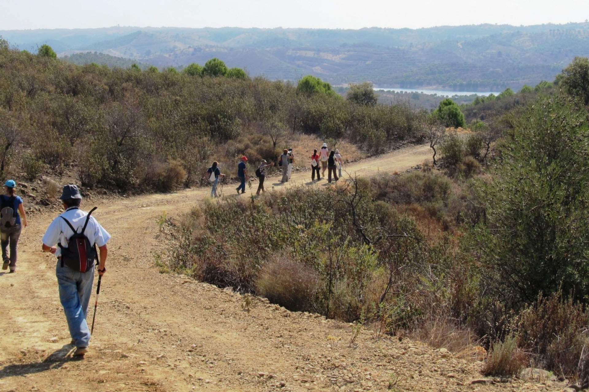
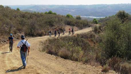
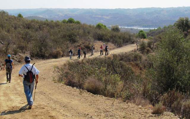
The route starts in the centre of Furnazinhas, by the main square; from here, it follows narrow streets towards the old road, flanked by stone walls, as far as the road towards Fortes, by the picnic park (parque de merendas). Here it turns left and continues to the right, along a road that runs towards Albufeira de Odeleite. It then continues as far as a crossroads where the mining gallery on the left hand side can be visited; afterwards, it continues to the right towards Albufeira. At the next crossroads it drops left towards the Odeleite River before climbing along the same path towards the crossroads. To the right, there is a climb up to Cerro Pelado, at 231m above sea level. Take the trig point path towards Furnazinhas.
The route starts in the centre of Furnazinhas, by the main square; from here, it follows narrow streets towards the old road, flanked by stone walls, as far as the road towards Fortes, by the picnic park (parque de merendas). Here it turns left and continues to the right, along a road that runs towards Albufeira de Odeleite. It then continues as far as a crossroads where the mining gallery on the left hand side can be visited; afterwards, it continues to the right towards Albufeira. At the next crossroads it drops left towards the Odeleite River before climbing along the same path towards the crossroads. To the right, there is a climb up to Cerro Pelado, at 231m above sea level. Take the trig point path towards Furnazinhas.