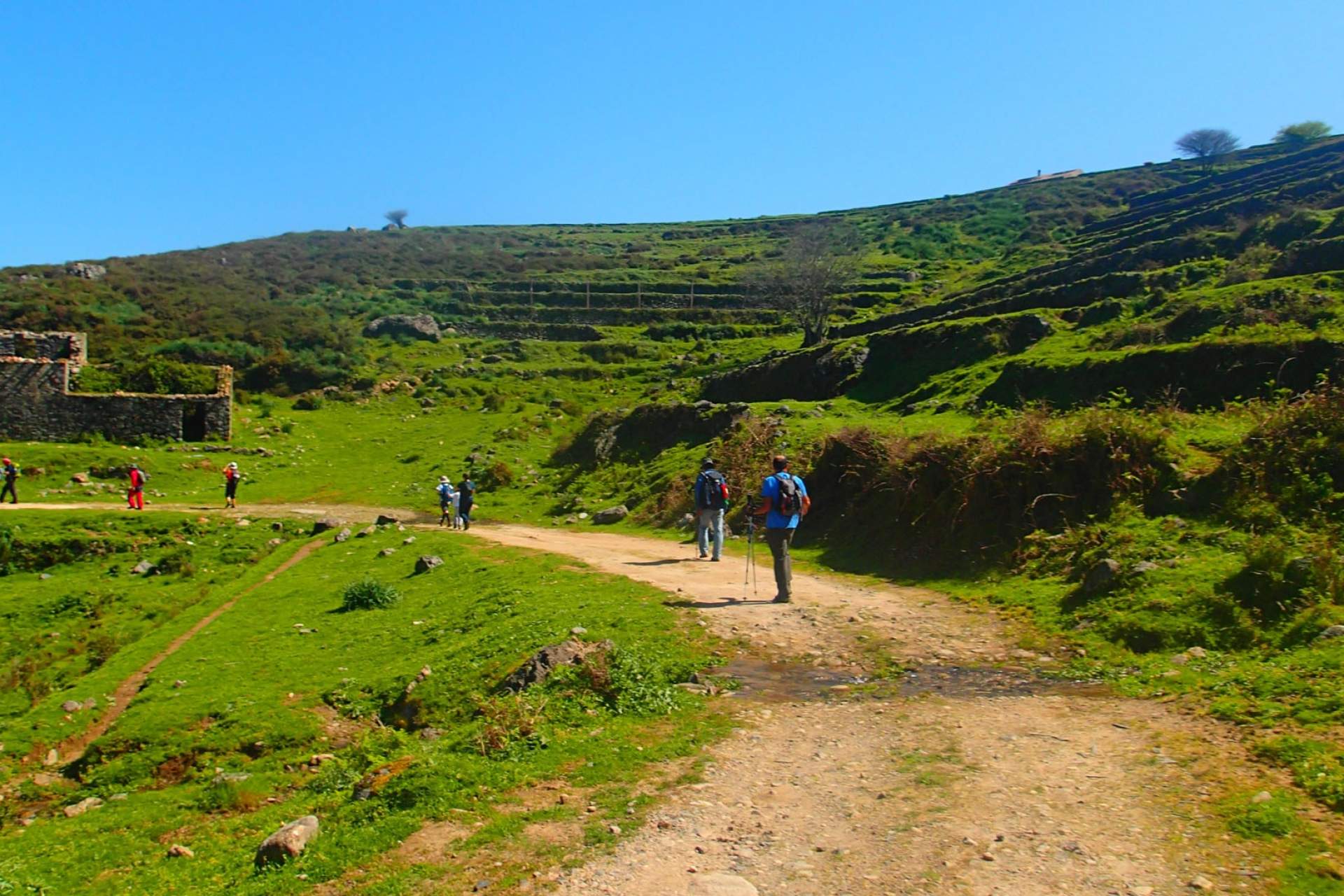
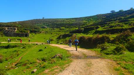
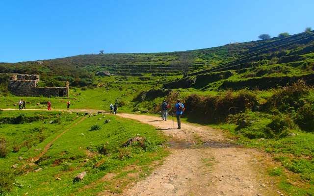
From Largo dos Chorões, walkers on this path start to climb for around 3km before arriving at Fóia. The Fóia antennas mark the highest point of the Serra de Monchique and the Algarve (902m). The route does not pass it, but a detour is more than worthwhile. The route then runs along a valley, where ancient agricultural terraces can be seen, and animals are often found grazing.
Small mountain villages such as Vale da Moita, Barbelote and Porta da Horta are on the route that takes you quickly to Madrinha, where a wind farm has been installed.
The path passes through Pardiero, crosses national highway 1087 and takes the road leading straight ahead, in the direction of the mountain peaks. It’s a short journey from there to Marmelete.