
To view more routes from your previous selection
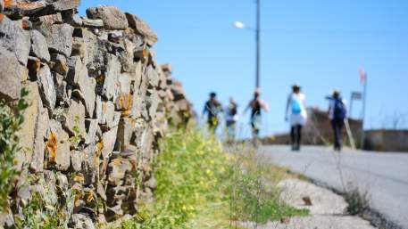
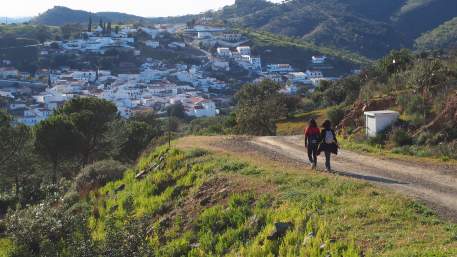
The east end of the Algarve - between Vila Real de Santo António and Alcoutim, along the Guadiana River - is one of the least known areas of this region and you can explore it by foot or bike.
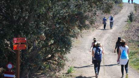
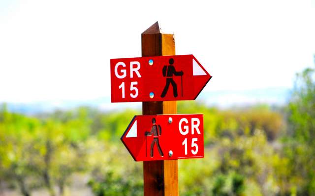
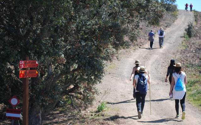
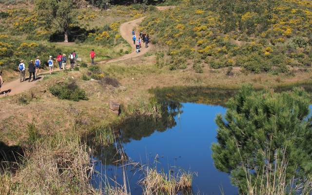
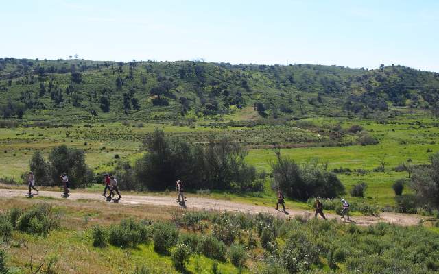
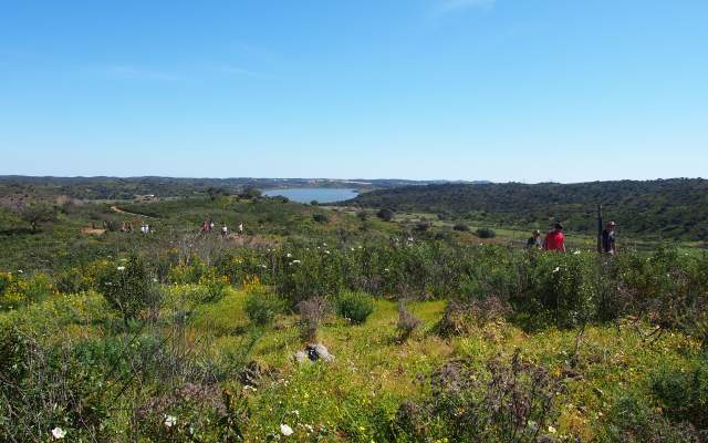
The Grande Rota (GR15) extends over 78 km across Alcoutim, Castro Marim and Vila Real de Santo António, through mountain, barrocal and coastal areas, along the Guadiana River.
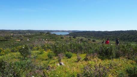
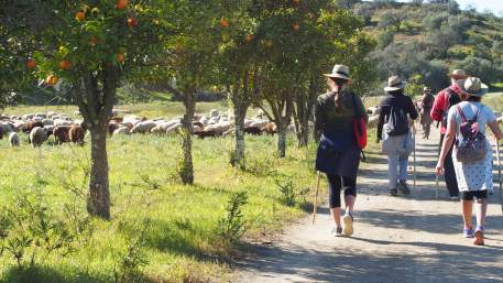
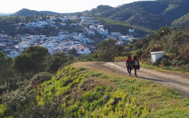
In the South-North direction, this trail starts at Vila Real de Santo António near the old Customs House and goes to Castro Marim, whose castle offers a beautiful perspective on the green landscape from which the Salinas stand out. This trail crosses many villages like Junqueira, Azinhal, Alcaria and Odeleite, and carries on by the Guadiana River after reaching Alcoutim.
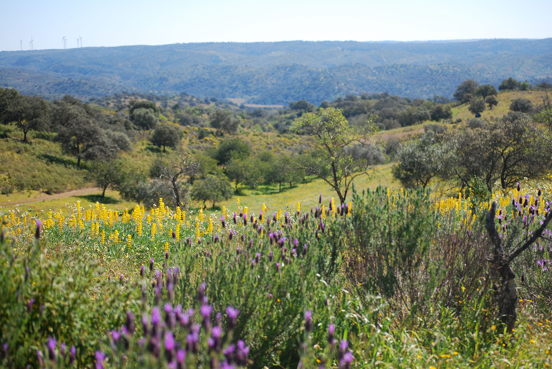
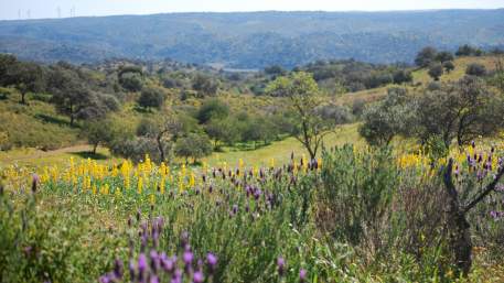
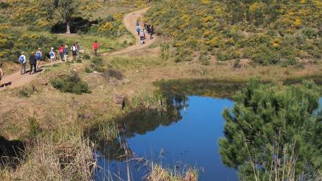
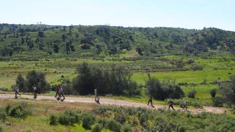
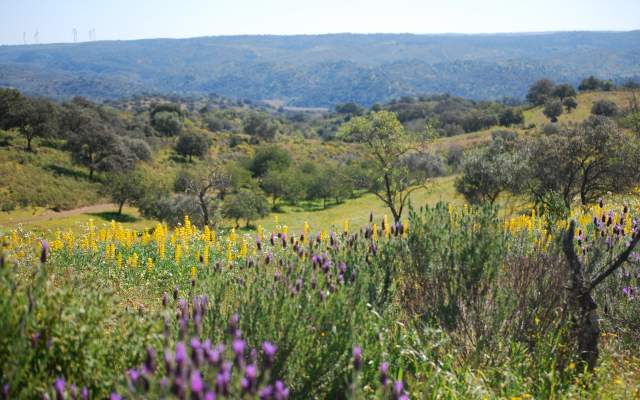
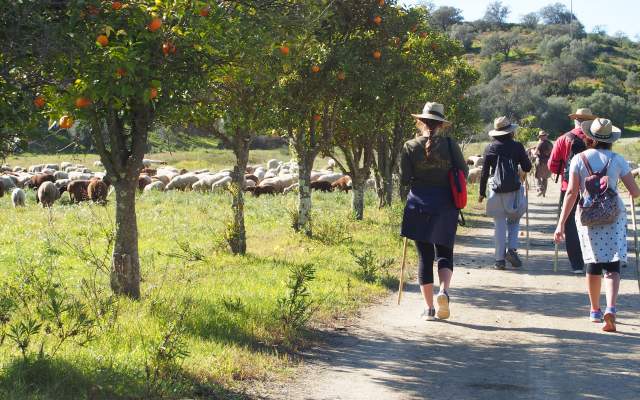
This Route is known by its landscapes and historical and natural heritage: from beaches in the south to mountains in the North, always near the Guadiana River.
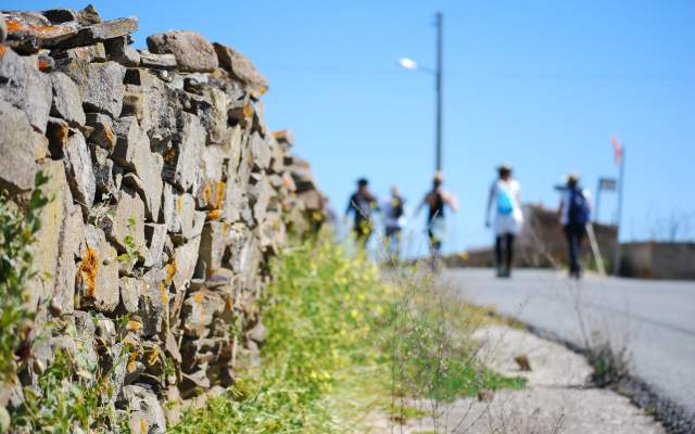
This Route can be completed by making 19 small pedestrian itineraries with distances from 3 to 15 km. These are known as the “Caminhos do Guadiana” that extend over a total of 135 km, allowing you to know this South Guadiana region thoroughly.
If you choose to travel across the Grande Rota do Guadiana, you can check all detailed information on your Itineraries in guides and maps, or consulting the companies’ Programmes for this Route. If you prefer, you can also follow the trail you want enjoying all support Services on your way.
Keep on exploring the Algarve by foot. Alcoutim is also the zero kilometre of the Via Algarviana, ending in Cabo de São Vicente and extending across this region’s interior.

Types
Which Trails?
No results were found matching your search. We suggest changing the filters used.

Programmes
View MoreClose
Search results for:
No results were found matching your search. We suggest changing the filters used.