Rota Vicentina - Alentejo/ Walking
Caminho Histórico / Cercal do Alentejo - S. Luís
Find other trails from your selection here
Caminho Histórico (Sabóia - Odemira)
Caminho Histórico / Cercal do Alentejo - S. Luís
Caminho Histórico / Odemira - S. Teotónio
Caminho Histórico / S. Luís- Odemira
Caminho Histórico / S. Teotónio - Odeceixe
Caminho Histórico / Santiago do Cacém - Vale Seco
Caminho Histórico / Vale Seco - Cercal do Alentejo
Caminho Histórico /Cercal do Alentejo - Porto Covo
Percursos Circulares / A caminho de Totenique
Percursos Circulares / Arrozais de Campilhas
Percursos Circulares / Cercal do Alentejo
Percursos Circulares / Charcos Mediterrânicos
Percursos Circulares / Charneca de S. Teotónio
Percursos Circulares / De Santa Clara à Barragem
Percursos Circulares / Dunas de Almograve
Percursos Circulares / Hortas de S. Luís
Percursos Circulares / Praia do Sissal
Percursos Circulares / Rotas de Santa Clara (Barragem)
Percursos Circulares / Rotas de Santa Clara (Sabóia)
Percursos Circulares / S. Martinho das Amoreiras
Percursos Circulares / Santiago Histórico
Percursos Circulares / Senhora das Neves
Percursos Circulares / Troviscais ao Mira
Trilho dos Pescadores / Almograve - Zambujeira do Mar
Trilho dos Pescadores / Porto Covo - Vila Nova de Milfontes
Trilho dos Pescadores / S. Torpes - Porto Covo
Trilho dos Pescadores / Vila Nova de Milfontes - Almograve
Trilho dos Pescadores / Zambujeira do Mar - Odeceixe
Search
Caminho Histórico / Cercal do Alentejo - S. Luís
Rota Vicentina - Alentejo/ Walking
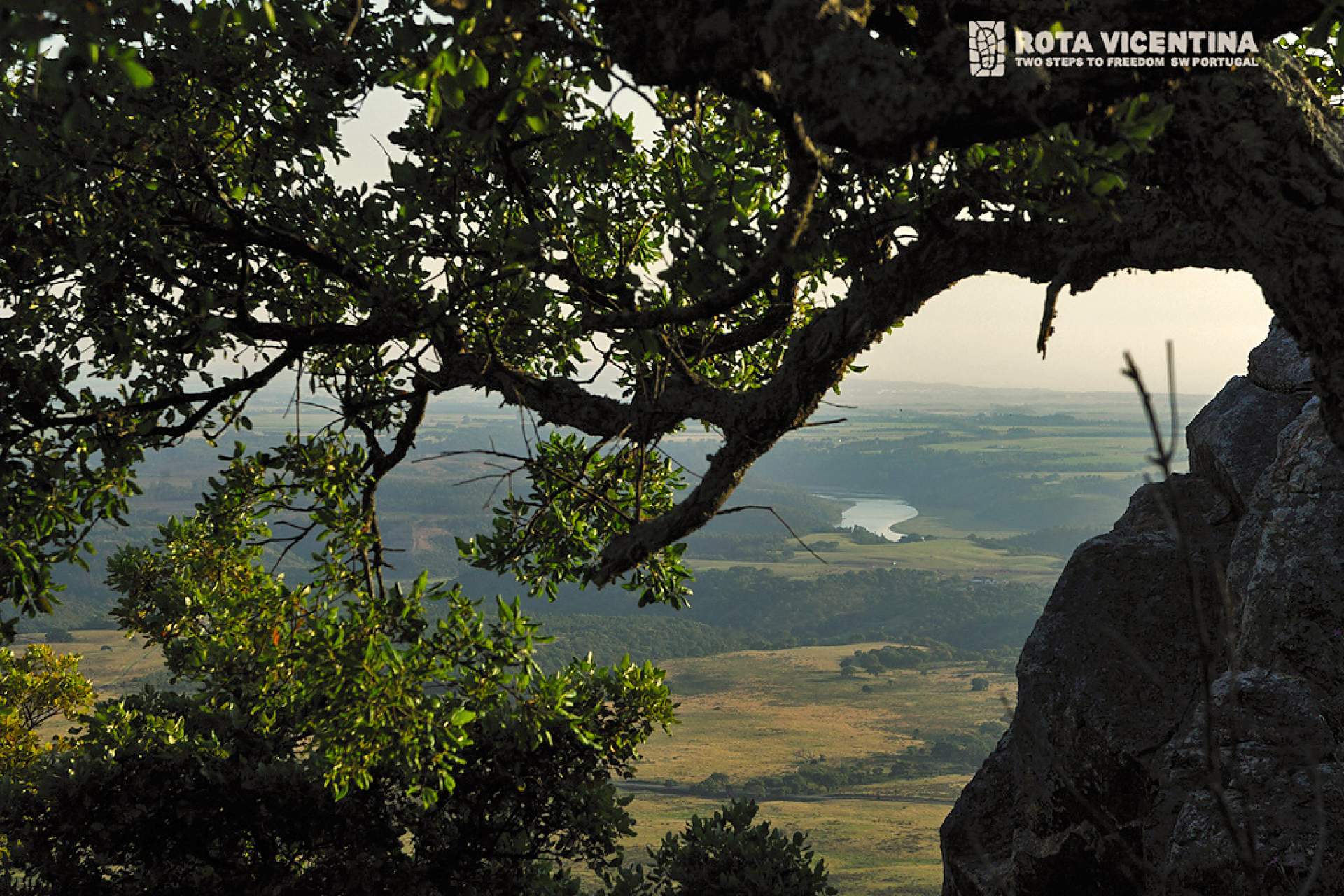
This is the most mountainous stage of the Vincentian Route a physically demanding route, with long ascents on hard and uneven terrain, but in which you will have the opportunity to enjoy breathtaking views of the plain and the Atlantic, from the top of the mountain range.
This is the most mountainous stage of the Vincentian Route a physically demanding route, with long ascents on hard and uneven terrain, but in which you will have the opportunity to enjoy breathtaking views of the plain and the Atlantic, from the top of the mountain range.
View More >
View Less
Directions
https://www.portuguesetrails.com/sites/default/files/trails/kml/RVA_Walking_CH3.kmz
37.8002
-8.67268
FeedBack
Your opinion is important. Please rate your experience.
Send


