
Via Algarviana / Cycling
Dia 4 - Silves a Marmelete / Cycling
Find other trails from your selection here
Dia 4 - Silves a Marmelete / Cycling
Via Algarviana / Cycling
The route starts alongside the Enxerim river. From there is runs in a steady north-westerly direction towards Serra de Monochique, where the terrain becomes very rugged. After several ascents and descents, the path approaches the Odelouca River. The route then starts to gain altitude and the landscape once again starts to change. Visitors arriving at Fonte Santa are surprised by the small old thermal spring complex, with water at 27°C. After a steady climb you will reach Picota, the Algarve's second highest point (774m). Almost at the end of the route you enter a dense and magnificent cork oak forest, which leads you to Monchique.
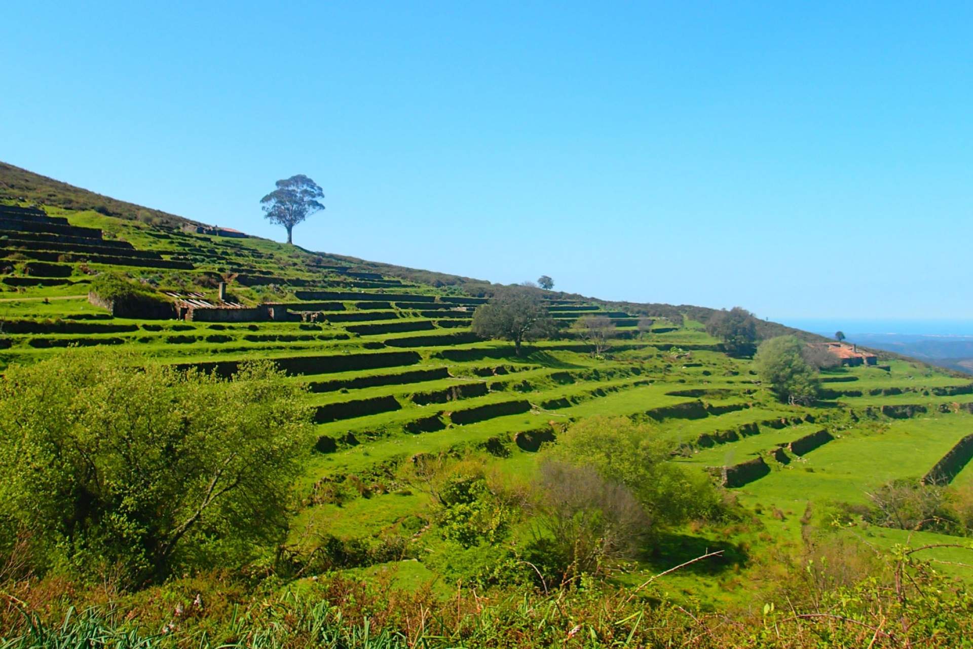
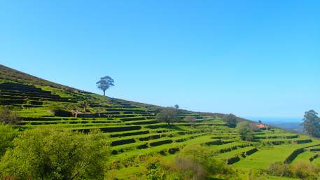
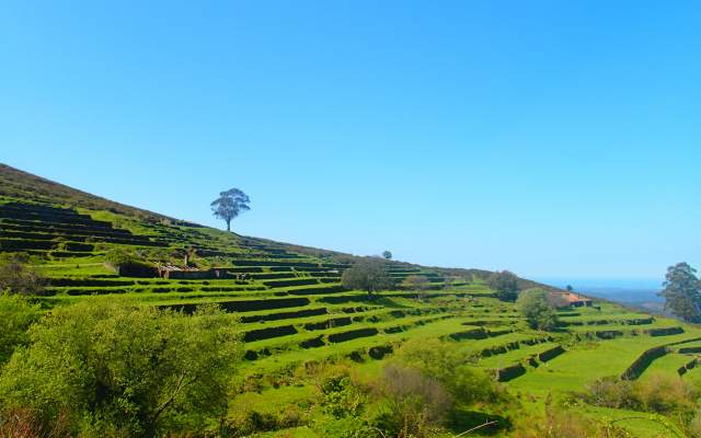
In Monchique, start to climb for around 3km to Fóia, the highest point of the Serra de Monchique and the Algarve (902m). The route then runs along a valley, where ancient agricultural terraces can be seen, and animals are often found grazing. Small mountain hamlets can be found along the route. It’s a short journey from there to Marmelete.
Types
Your opinion is important. Please rate your experience.
Programmes
View MoreClose
Search results for:
No results were found matching your search. We suggest changing the filters used.