Find other trails from your selection here
Etapa 1 - Nascente (Foios) - Miuzela
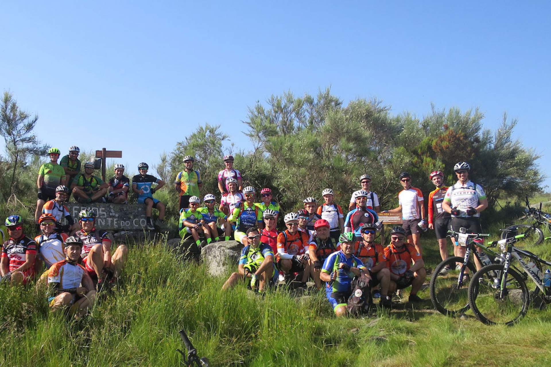
Grande Rota do Côa / Cycling
This route starts in Fóios by the headwaters of the Côa river, in the Serra de Mesas. This part of the GRVC route is partly shared by the Côa Headwaters Public Footpath (PR3 SBG). Beyond Fóios, the road follows the left banks of the river, surrounded by forests, meadows and pastures.
After the ascent to Cruz Alta, the descent towards the Espinho Valley affords views of several windmills, including Azenha do Peça, where the river is crossed, and the Engenho windmill. The trail between the Espinho Valley and Quadrazais follows the right bank of the Côa River towards Moinho do Rato, where we cross the river on the pedestrian footbridge and skirt around Cabeço do Colmeal and Alto da Vinha. Detour to the village of Quadrazais. The trail climbs through the mountains and forests of the Serra da Malcata Nature Reserve towards Alto da Machoca, a site with outstanding views over Côa and the city of Sabugal.
The route runs along the left bank of the Sabugal reservoir. Before arriving at Sabugal, it is possible to reach the river beach and visit the Zé Ricardo mill. This trail then crosses the city of Sabugal and there are points where it crosses the Historical Villages Grand Route - GR22. The trail runs along the Côa Meanders Public Footpath (PR1 SBG), the same paths used by routes 3, 4 and 5 of the Sabugal MTB centre. After the end of the detour, the trail now passes Rendo and crosses the river beside the Delfim Windmill before continuing along the left bank, through meadows and pastures towards Quinta dos Moinhos. Here the path crosses back over the Côa river through estates, hills and forests until you catch sight of the village of Rapoula do Côa. After crossing the village of Rapoula do Côa, the trail joins the GRVC and sticks to the left bank of the Côa on farm tracks as far as Ínsua. It is possible to gain access to the village of Vale das Éguas, on an unmarked detour (2.1 km) and the Vale das Éguas river beach (700 m). The GRVC continues through woods and meadows towards Ribeira do Boi, which can be crossed during the spring, summer and part of autumn. After crossing the Boi stream, the GRVC climbs along farm tracks as far as the village of Seixo do Côa, before descending once again to a road to rejoin the river Côa and the Seixo do Côa river beach. After passing through Valongo do Côa, it follows the road as far as Ponte de Sequeiros. After crossing Ponte de Sequeiros there is an unmarked detour that gives access to Cerdeira do Côa. The GRVC follows the left bank of the Côa until it reaches the road and the José Luís bridge. Afterwards, there is an unmarked detour that provides access to the village of Miuzela and the Badamalos river beach. This trail ends by crossing the José Luís bridge and climbing up to Vilar Maior on the road and farm tracks, also passing the village of Badamalos, on an unmarked detour (4.4 km).
Types

Your opinion is important. Please rate your experience.
Programmes
View MoreClose
Search results for:
No results were found matching your search. We suggest changing the filters used.


